Accelerating Solutions Across the Entire Mining Value Chain
Drive actionable insights with geology-led, data-driven solutions
Redefining mineral exploration
Advanced mining remote sensing for the future of deposit discovery
Mineral exploration has become increasingly important in supplying the resources needed for a sustainable future. Yet, discovery of new deposits through traditional, manual approaches has slowed down considerably. Mining companies face the difficult task of quickly and confidently identifying new target areas while minimizing their own environmental impact. At this pivotal time, companies must embrace novel technologies that can speed up their time to discovery.
Through our innovative off-the-shelf products and extensive in-house science expertise, Descartes Labs is primed to support mining companies as they transition to a new era for the industry.
Assess more targets, more rapidly, with Marigold.
Marigold, our GIS-like user interface, is built for the exploration geologist and enables common remote sensing workflows for exploration, without coding.
Custom engagement timeline
Reduce timelines and take charge of mineral exploration
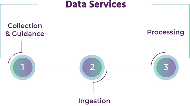
Data services
Data Collection & Guidance
Get expert advice on the best data for applicable insights into sensors, wavelength ranges, data resolution and pre-processing requirements.
Ingestion
Our team of scientists ensures that all customer data is optimized and made analysis-ready for use in Marigold. You can combine your proprietary data with our catalog of products, including our Bare Earth Composite, to unlock the most valuable insights for your exploration.
Processing
Augment your workforce and reach results faster by allowing your geologists to focus on their areas of expertise instead of on data processing. This alleviates bottlenecks in exploration workflows, allowing geologists to explore more data in greater detail—furthering the depth of analysis and the frequency of hypotheses being tested.
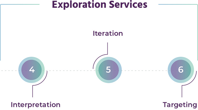
Exploration services
Interpretation
Reach conclusions faster with deposit-specific insights and a team of remote-sensing experts. As an extension to your generative, greenfields and brownfields teams, we work closely with your geologists to understand their specific challenges.
Iteration
Iterate quickly with transparent solutions that optimize data and generate insights specific to your areas of interest. Regular meetings offer on-the-fly refinement and iteration enabling deeper targeting discernment for your team.
Targeting
When assessing targets and planning fieldwork, your geologists are empowered to find the next big deposit with advice from regional, generative campaigns employing spectral interpretations and outputs.
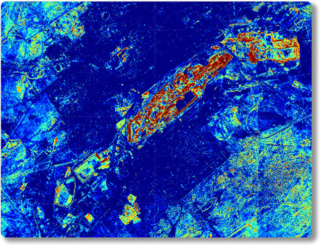
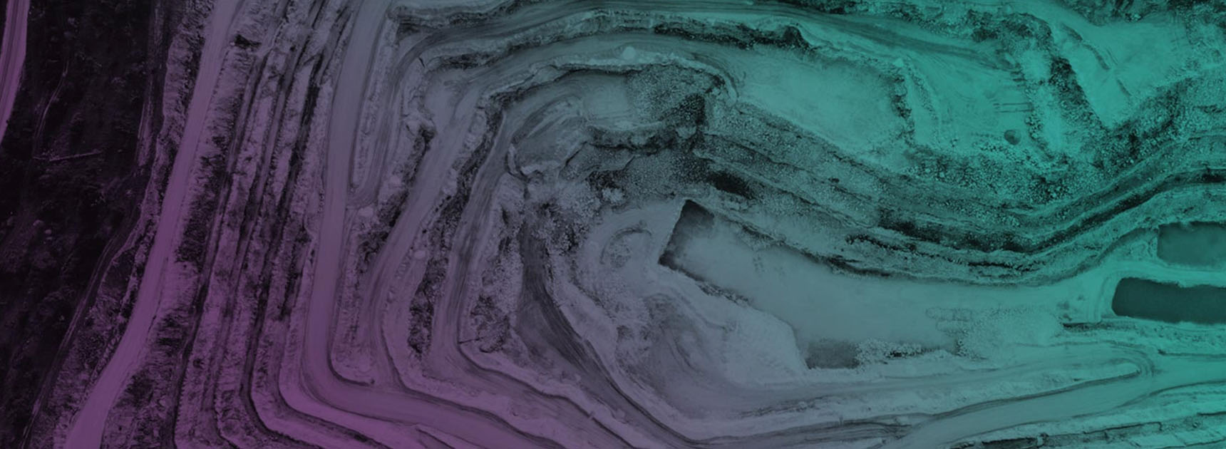
Data attribution: © State of New South Wales. For current information go to www.nsw.gov.au.
Hyperspectral processing
More bands, major insights.
Hyperspectral data offers mining companies enhanced spectral resolution, giving them more information about potential areas of interest. Because of its high number of spectral bands, processing hyperspectral data has historically been prohibitively difficult and expensive.
With our advanced computing capabilities, robust data pipelines, and powerful GIS-like software, we work with mining companies and empower them to get the most out their hyperspectral imagery.
Harness earth observation data to revolutionize the mining lifecycle.
Talk to an expert to learn how Descartes Labs can grow your business.