Advanced Science. Innovative Solutions.
Go beyond data to unlock high-scale AI-driven insights.

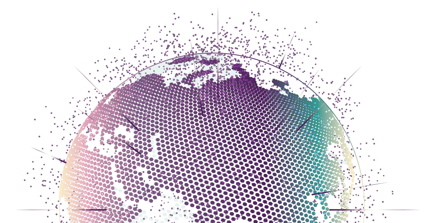
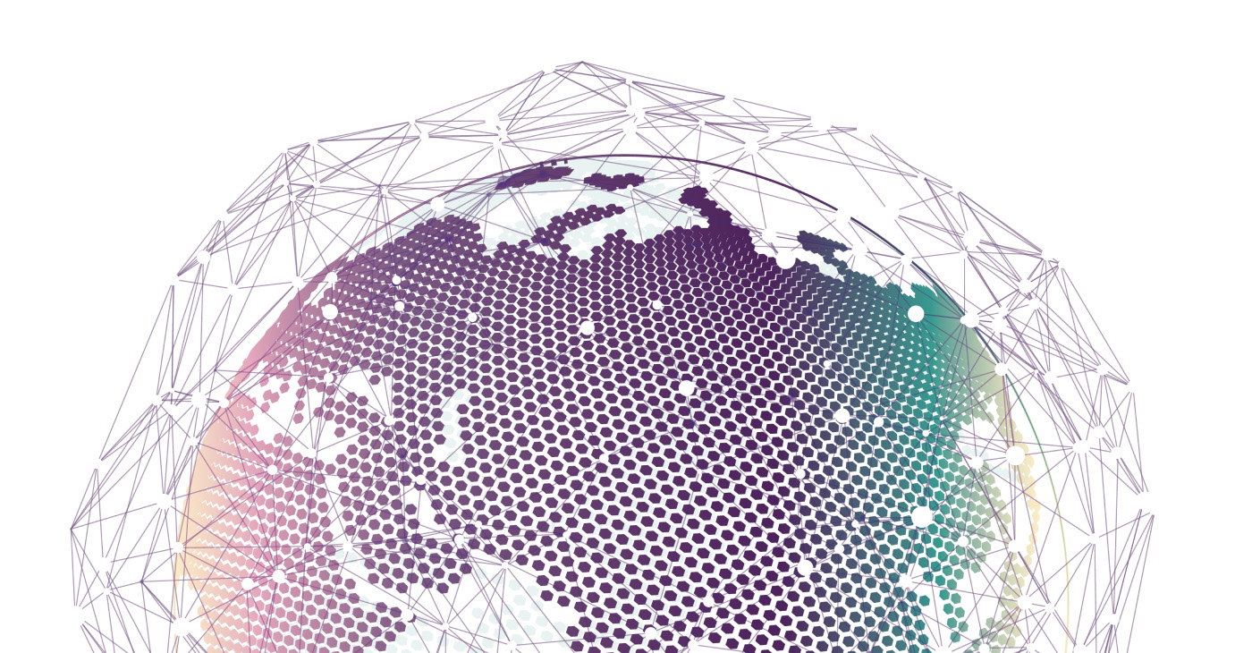

Accelerate the mining life-cycle and drive actionable solutions with geology-led, data-driven insights. Access scalable data that streamlines your company's operations, maximizing cost efficiency while accelerating your goals. Engage with the proven results of Marigold, the world’s most advanced geological exploration system. Assess and respond to risks with the world’s first automated, global subsidence and deformation monitoring system. Examine key sustainability measurements across global assets, from operational carbon impact to mine rehabilitation objectives.

Using advanced remote sensing technology with machine learning and artificial intelligence, our solutions provide you with the means to positively impact our ecosystem. Achieve ESG goals and comply with regulations through the use of globally scalable solutions to address climate change, combat deforestation, and monitor carbon emissions to improve and work towards a healthy biodiversity.
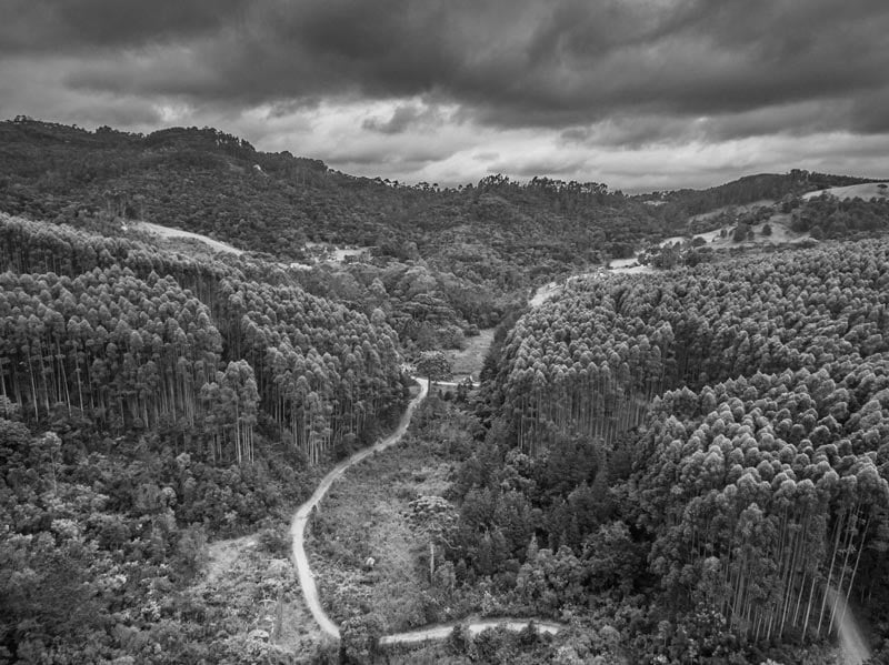
Build trust with your consumers, collaborate effectively with your suppliers, and objectively measure your impact on the natural world with our data-driven insights. Improve quantitative purchasing strategies and predict crop yields and other market factors to better understand supply chain disruptions and dynamics. Lower the cost of verifying environmental impacts, and identify and detect changes in key characteristics of natural resources (forest, water, soil, air) to set realistic sustainability goals.

Bring cutting-edge geospatial intelligence to the forefront of the defense industry with Descartes Labs government solutions. Leveraging our state-of-the-art platforms, we provide advanced analytical capabilities, which enables strategic planning, monitoring, and response to critical situations in real-time. Our solutions aid in forecasting threats, enhancing operational efficiency, and ensuring national security with the utmost accuracy on accelerated timelines.
Adaptable
Deliver more meaningful results by combining data from any source with proven scientific expertise.
Rapid
Streamline workflows and reduce engineering timelines to focus on the insights that matter.
Scalable
Work at any scale, from regional to global, with a cloud-native, fully managed backend.
Automated data processing
Automate the process of cleaning, preprocessing, and transforming massive amounts of data; saving time and effort for analysts.
Advanced data analytics
Analyze data at a revolutionary level of detail that uncovers patterns and insights that may otherwise be missed.
Predictive modeling
Utilize historical data to build predictive models, enabling data analysts to anticipate future trends and make data-driven decisions.